At Teihazaka there was a sign for Buna no Mori Koen a few kilometres down the road. Since we'd already come an hour to Tehaizaka, it seemed a pity to miss the opportunity to see what was at the "Beech Tree park". According to the welcome sigh it was opened in in Heisei 9 (1997) when Shirakami Sanchi was registered as a UNESCO Natural World Heritage sight. It was so pretty, and for Honshu, so remote.
In Akita I am often dismayed about how little nouse the prefecture displays in showcasing itself. It's like a black hole on a tourist map. Bunanomori koen doesn't even appear on Google maps. Despite being relatively close to the JR Gono line there is no public transport here. Even local people don't know about it... Hiro's parents who are avid mountain climbers and mountain vegetable gatherers and read the local and national newspapers every day had no idea of it. They were amazed at how beautiful it was.
We drove as far as possible and then walked a few kilometres to a hut which had public toilets and an office for a park attendant, though there was none there. It was stunning path, lines with waterfalls, that traced the Mizusawa, a moutain stream that rises in the Shirakami and flows a short distance out into the Japan Sea. From the hut there were walking courses into the mountains, but they were not particularly signposted and there was no attendant. Maybe the situation is different when the road is fully clear and cars can go through the whole way to the attendant's office. Since we'd walked several kms to attendants hut, and we hadn't brought lunch, we didn't look for mountain paths. Perhaps summer will give the opportunity to do so.
If anyone out in cyberland wants to start an eco retreat centre. This is an area worth investigating (though it's inaccessible 4 months of the year with snow).
 |
A welcome sign for the park which is 7 km down the road,
above Maezawa dam. |
 |
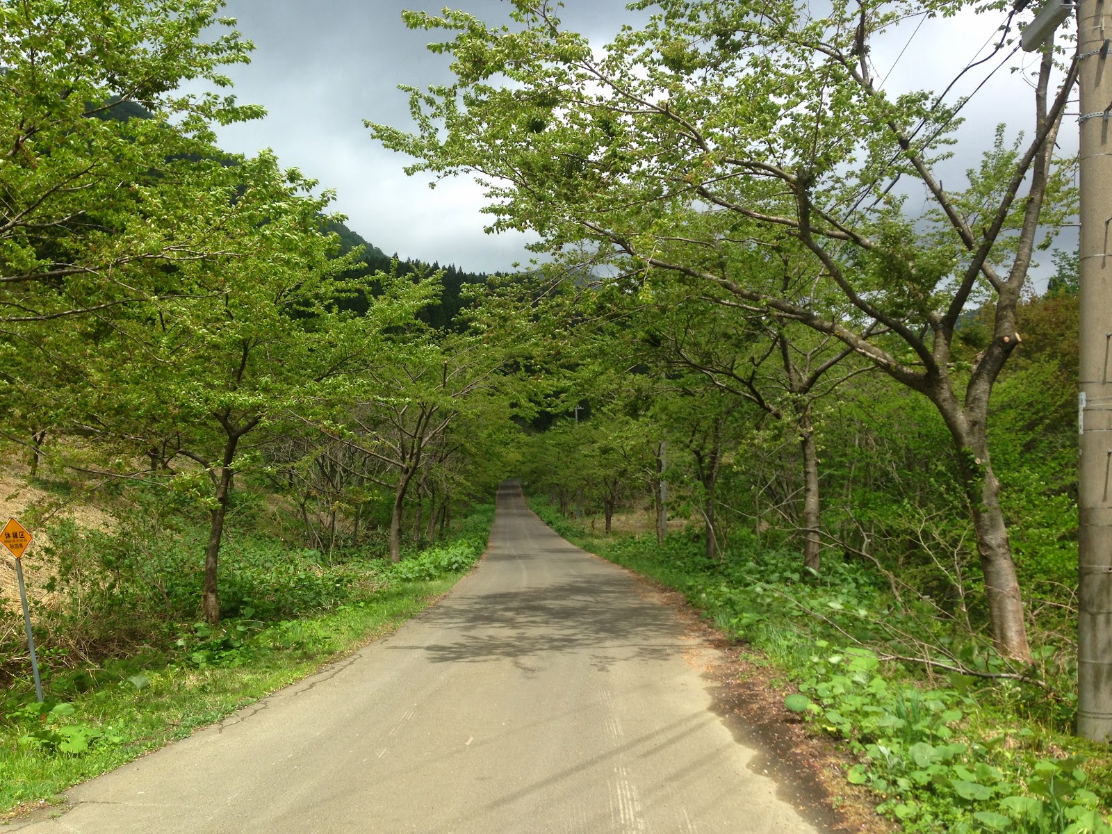
The road to Buna no Mor Koen.
There's not a lot of traffic there - keep in mind it was
at Golden Week one of Japan's biggest holiday seasons.
We saw a couple of cars pulled up for fishing or mountain vegetable picking.
But that was it. No sightseers at all. |
 |
| We walked upstream from here |
 |
| The melting snow in the mountains meant high volumes of water in the Mizusawa River. |
 |
On the road near the bridge a backhoe, which had been used to
clear the road / pathway was positioned to block the road. |
 |
| Signs of spring |
 |
| So pretty |
 |
Just as well the backhoe was blocking the road.
It wouldn't be a good spot for a U-turn. |
 |
| Kogomi mountain vegetable |
 |
| Spot the frog |
 |
| A bit easier in this one |
 |
| A non edible mountain vegetable |
w
 |
| Bits of snow still remaining |
 |
| Looking down from the attendant's hut area. |
 |
| A sign for a walking course. |
 |
| The Mizusawa River |
 |
| Shirakami map |
 |
| At the attendants's hut. The posts don't do much for the view |
 |
| Waterfall |
 |
The sign to say that it's the Buna no Mori Koen...
In a country looking for places for the 20 million target tourists to go,
this area has potential, if anyone had the willingness to do market
research and invest. My feeling in Japan is that a lot of investment takes
place without the scantest regard for what is actually needed. |
 |
| There were many waterfalls. |
 |
We took our shoes off to walk through.
The water could only have been a few degrees
above freezing. |
 |
| The Misuzawa |
 |
The park is above the Maezawa dam.
A dam whose merit is hard to see.
Other than for the construction companies who
built it. |
 |
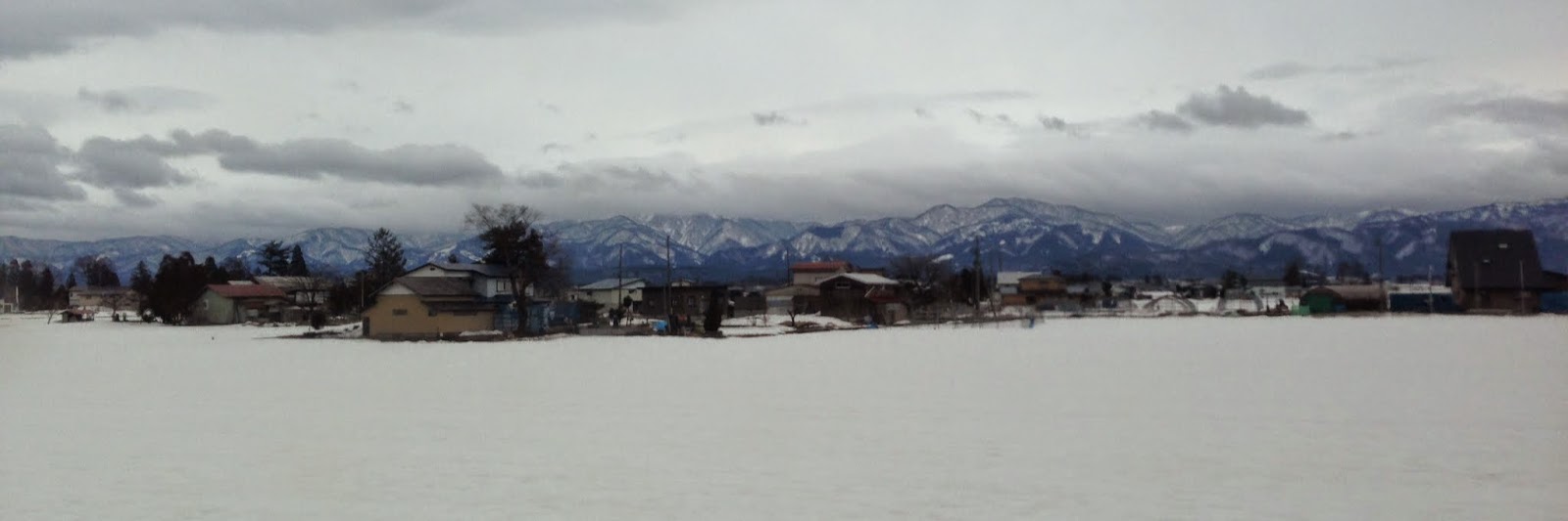
| The area |