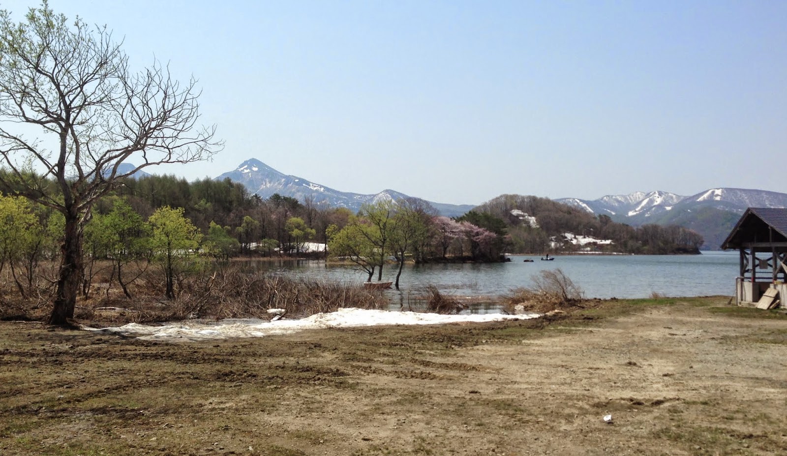
![]() |
Mt Iwaki |
![]() |
Shirakami Sanchi World Heritage Area from Iwaki san |
![]() |
Snow on the top |
![]() |
The summit of Iwaki san |
![]() |
Beech trees on the way up the mountain. |
![]() | ||||
|
![]() |
Mt Iwaki |
![]() |
Shirakami Sanchi World Heritage Area from Iwaki san |
![]() |
Snow on the top |
![]() |
The summit of Iwaki san |
![]() |
Beech trees on the way up the mountain. |
![]() | ||||
|
![]() |
Mt Bandai, Fukushima |
![]() |
Ura Bandai |
![]() |
Lake Hibara which is apparently a mesotrophic lake, formed when Bandai san errupted in the late 1800s. |
![]() |
Lake Hibara |
![]() |
We took the the road around the back of Bandai san to Yonezawa, Route 2, via Lake Hibara. The road is a bikers paradise, snaking its way up and around and down Tohachiyama |
![]() |
Bandai National Park |
![]() |
Still snow in the mountains |
![]() |
Lake Hibara |
![]() |
A late blooming sakura at a michi no eki south of Ohe machi. |
![]() |
Yamagata farmland. This would have been covered in snow when I was up there in March. |